Hiking
Wengen Hikes
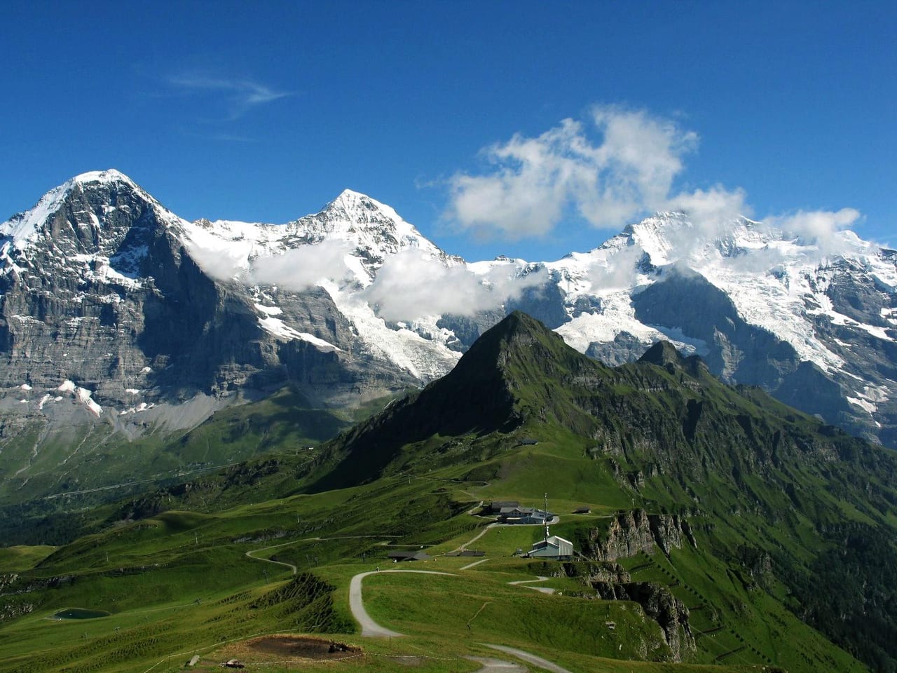
For a short walk from Wengen, try the Staubbachbänkli viewpoint. For a high mountain walk, take the cable car to Männlichen and follow the Panorama Trail to Kleine Scheidegg when it’s open. The descent through Wengwald to Lauterbrunnen drops nearly 500 m.
Photo: Steinmann · Public domain (author release)Source

Which Wengen hike should you choose?
For a short walk, stay on the village terrace. If you’re considering the full walk down to Lauterbrunnen, the 500 m of descent is the main effort. For Gemsenweg, expect a sustained climb to Männlichen and check the last cable car down before starting.
Compare routes
| Route | Start → finish | Distance / walk time | Ascent / descent | Lift or train | Return / turnaround |
|---|---|---|---|---|---|
| Staubbachbänkli (village) | Wengen village → Staubbachbänkli viewpoint | 1.8 km · ~30 min (Infoguide Sommer 2026) | — | Walk only | Retrace to the village |
| Wengen – Wengwald – Lauterbrunnen | Wengen → Wengwald → Lauterbrunnen | Allow for a sustained downhill walk. The railway map times the uphill direction separately. | ~500 m descent (Wengen Tourism) | Optional WAB from Lauterbrunnen back up | Train up from Lauterbrunnen, or retrace on foot for a shorter outing |
| Panorama Trail | Männlichen → Kleine Scheidegg | 4.5 km · 1 h 20 min downhill (maennlichen.ch); reverse 2 h | The finish is lower. The path undulates along the mountainside. | Cableway to start; WAB from Kleine Scheidegg | Train to Wengen (or Grindelwald). Full plan on the Panorama Trail page |
| Gemsenweg (uphill) | Wengen → Männlichen | 5 km and 3 h according to Wengen Tourism’s summer guide | Infoguide: 945 m ascent | Optional cableway down (or continue on trails) | Use the Wengen cable car down when running. |
| Wengernalp – Biglenalp – Kleine Scheidegg | Wengernalp railway station → Biglenalp → Kleine Scheidegg | About 2 h on the Jungfrau hiking map, route 39 | — | WAB to Wengernalp start; WAB from Kleine Scheidegg | Train to Wengen or Grindelwald |
Trail grades in plain language
Official Swiss path categories (yellow / white-red-white / white-blue-white) are defined by theSwiss Hiking Federation. Trust the painted blazes and signposts on the ground; brochure labels that say easy, medium or difficult are a different local scale and may not match the federation colours.
- Wanderweg (yellow): Standard hiking path — normal attention; sturdy shoes recommended (Swiss Hiking Federation).
- Bergwanderweg (white-red-white): Mountain hiking — sure-footedness, no fear of heights, good fitness; mountain hazards possible.
- Alpinwanderweg (white-blue-white): Demanding alpine hiking — may include snow, scree or short climbing; strong alpine experience.
Before you go
- Footwear and layers for mountain weather — tourism lists sturdy boots as basic kit.
- Snow can linger into June. Check each trail and the transport you’ll use to reach it.
- CheckMännlichen live,hiking trail status,weather & webcams and the last usefulSBBconnection before you leave the village.
Männlichen and Panorama Trail
Mountain access, Royal Walk and fares:Wengen to Männlichen. For the walk to Kleine Scheidegg:Männlichen to Kleine Scheidegg Panorama Trail.
- Panorama Trail (operator)
- 4.5 km · 1 h 20 min Männlichen → Kleine Scheidegg
- Grades
- Yellow / white-red-white / white-blue-white per Swiss Hiking Federation — brochure easy/medium/difficult labels are a separate scale
Updated 2026-11-17 · Sources checked 2026-11-17